


Utilities worldwide are embracing digital technologies, from smart metering to predictive maintenance tools, revolutionizing grid operations. Amid these advancements, the pivotal role of Geospatial Information Systems (GIS) often goes unnoticed but is a crucial enabler of digital transformation.
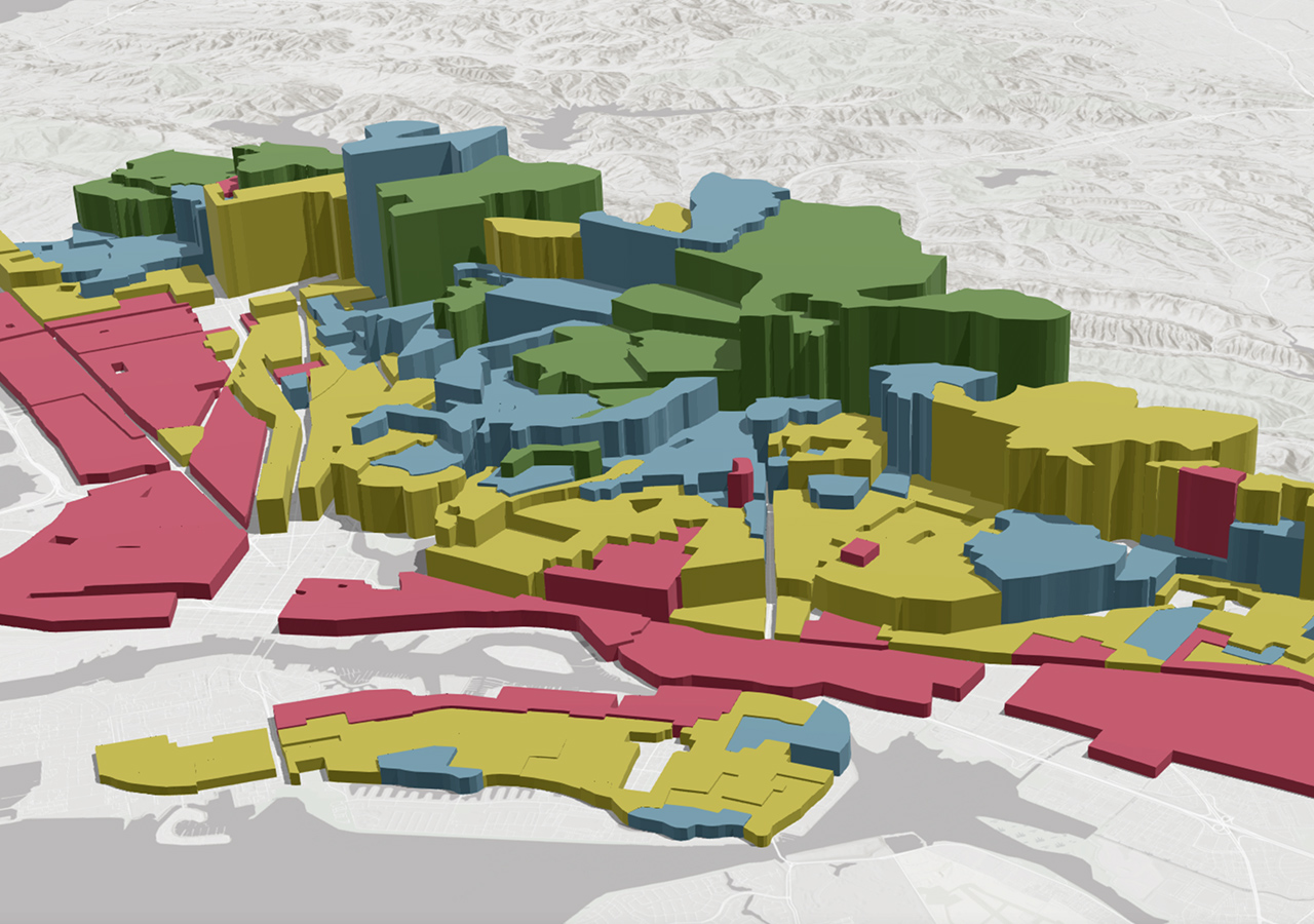
A robust GIS offers a comprehensive spatial view of grid assets and stakeholders, laying the groundwork for integrated and intelligent grid management. It seamlessly integrates physical infrastructure, geographical information, population demographics, and socioeconomic data into a unified platform for analysis and decision-making.
“GIS connects the dots between different data sets to provide valuable insights that drive efficient operations and service delivery,”
explains an industry expert. The synergy between GIS and digital tools streamlines complex processes by simplifying vast datasets into actionable intelligence.
The effectiveness of a GIS-centric approach hinges on high-quality data. Clean and structured information fuels the GIS engine, transforming raw data into interactive dashboards or actionable recommendations with just a prompt.
In Kenya, the national utility leverages GIS to visualize infrastructure alongside demographic, topographic, and economic data. This evidence-based planning approach ensures that energy infrastructure aligns with community needs while optimizing cost-efficiency.
“Investment planning benefits immensely from GIS integration as it identifies gaps in existing systems and pinpoints optimal locations for future expansions,”
notes a seasoned energy planner. By factoring real-world constraints into decision-making processes, utilities can prioritize investments effectively.
Moreover, GIS plays a vital role in disaster preparedness by modeling natural disaster impacts on infrastructure and facilitating resource deployment strategies. It also enhances customer engagement by improving response times and overall service quality through spatially tracking complaints.
The flexibility and scalability of GIS make it an indispensable tool for evolving energy landscapes. As new technologies like electric vehicles emerge, GIS platforms adapt seamlessly while fostering collaboration across sectors such as urban development and transportation planning.
“Diving deeper into spatial analysis capabilities empowers energy professionals to unlock the full potential of digitalization in power systems,”
emphasizes an expert. Recognizing GIS as a strategic foundation is key to visualizing, analyzing, and optimizing the entire energy ecosystem efficiently.
To harness the true power of digitalization in energy systems requires investment in data accuracy governance, diverse dataset integration capabilities building cross-sector collaborations—a holistic approach essential for navigating the evolving energy landscape successfully.


Leave feedback about this